Costa Rica to Costa Rica

July 24, 2016

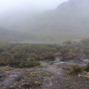
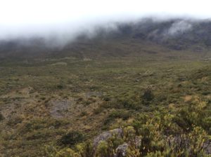
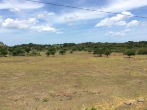
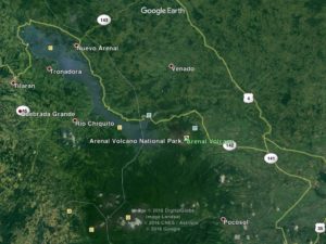
Lake Arenel area
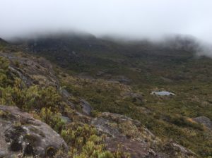
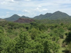
Lake Arenel area
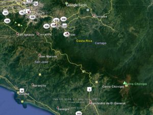
San Jose to San Isidro

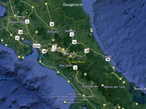
Well, I’m still in Costa Rica.  It’s turning out to be a hard place to leave and for two reasons; i) there’s a lot to see and do here and ii) the roads to get to any of it are unbelievably hilly and winding.  I’ve tried to plot as linear a route through it as possible, but regardless  have put in double the miles required to cross El Salvador, a country of similar size.  A day’s ride encounters continuous Sisyphean up/down hills with one section having the high point of the Pan American highway for North America at just under 11,000 ft.  This pass is considered the main highway, and the shortest route thru, but can be detoured by a coastal route which I would have taken had I realized its height.  Having done it, I’m glad I did- it was incredible.

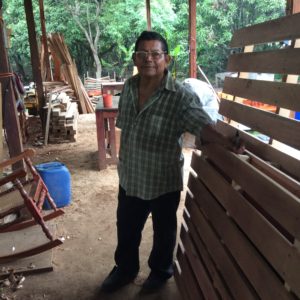
I forgot to mention in the last post that not far into Costa Rica I passed the first fellow cross-country bike traveler I’ve seen yet, he headed north. We stopped and talked. His name was Jóse (joe-see) and he’s Brazillian. He had traveled from Ushuaia, the southern tip of Argentina and where I’m theoretically headed. Jóse’s heading for Alaska. I managed to lose his contact information before I could get it into the computer so, Jóse, if you log onto cyclingagain.com send me a note with your info.  If you go through Logan, Utah I’ll line you up with 20 different people you can stay with.
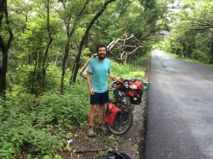
Jose
Jose

Guatamala leads the world in having the greatest number of endemic species, that is, species that occur only in Guatamala.  Costa Rica though, leads the world in overall biodiversity having 4% of the Earth’s species while having only 0.03% of the land mass.    Much of the rainforest is still unexplored and new species are discovered routinely.  Being an object of world wide study as well as having a thriving tourist industry has kept the country’s natural habitat well insulated from extractive industries.  About 25% of the country is protected as parks and preserves.  Any logging of wild habitat has been essentially eliminated in the 21st century.

Several people recommended Bosque Nuboso Monteverde National Park but to get there meant not only hills but also retracing the route to get back to the main highway.  I settled instead for a route around Lake Arenal followed by a tertiary highway that clipped a corner of the cloud forest habitat of Monteverde between the towns of Fortuna to San Ramone.  From there main highways took me to San Jose, Costa Rica’s capitol.
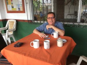
Andre Brousseau......
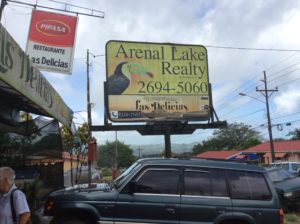
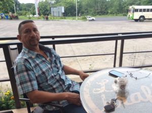
Andre Brousseau kept me well entertained in the town of Neuevo Arenal on Lake Arenal.  He’s from Quebec and has lived in Vancouver, BC, but has recently set up shop in Costa Rica as a realtor.  He had a few insights into the myriad computer issues I’ve had.
....and his real estate company.
Andre’s real estate company.
Hitchhiker
Hitchhiker

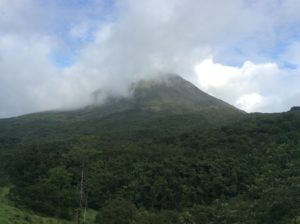
Lake Arenal is actually a reservoir who’s  impoundment has been expanded over the years, with its present size completed in 1979.  Built mostly for hydroelectricity potential, it supplied Costa Rica with 70% of its power in 1979.  Growth in consumption has reduced that percentage to around 15% today.   While in the Lake Arenal area I spent an evening and morning hiking around Volcán Arenal in rainforest habitat that leads into lava flows higher on the volcano’s flanks.  Arenal began a slow, depositional eruption in 1968 and continued poring debris 4000 feet down its west side till December, 2010. Climbing it is illegal but locals have been to the summit since it stopped erupting, although at the risk of breathing toxic gasses.  A national park is on the volcano’s west side but I ended up paying a pricey $8 fee to hike in a privately owned system of trails that abut the park and are more accessible to a bicycle traveler.  I saw rainbow-billed toucans, a scarlet-rumped tanager, a glimpse of a spider monkey, crested guans, chachalacas.  There are several species of chachalacas, but one that’s been with me since Sonora has a call as penetrating as a sandhill crane but with distinct notes that defy description.  Maybe like a rooster trying to mimic the catcalls of a shrike- you’d just have to hear one.  I first heard them when I was sick north of Mazatlán where they added a bit of bizarreness to a delerious night in the gravel pit.

There was a building at the trailhead where the fees were collected by a guy who was well versed in the natural sciences of the area, Walter Stellar. He spent quite a bit of time with me explaining birds and plants. Evidently ecotourism has evolved in Costa Rica to the point where younger folks go to school for a couple of years for accreditation as a tour guide. They’re given a solid background in binomial taxonomy for plants, birds and mammals and learn some of the science behind adaptations.  They’ll know the basics of geology and human history.
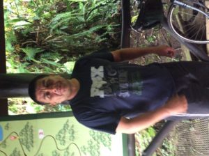
Walther Sellar
Walter Stellar
Mount Arenal
Mount Arenal

Venomous fer-de-lances, pit vipers like our rattle snakes- but no rattles- are found in the area and a few folks had just returned from photographing one near the trailhead. Walter walked with me to see it but the snake had moved on a few minutes before we got there. I saw people’s pictures though and he looked big and formidable.  It kept me on edge walking the trails.  Walter explained a little of the development of anti-venoms and how individuals from the same species can have different neurotoxins that require specific anti-venom.  The anti-venom is derived by giving horses small doses for which the animals create their own antibodies.  Then both the horse’s blood and antibodies are matched to a patient.  It’s low probability to have a bad encounter hiking a trail, but he said folks working sugarcane fields with machetes are bitten not infrequently and the country prides itself with quick response time and few if any fatalities.  In historic times people would often die from fer-de-lance bites. It was all quite fascinating.
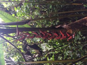
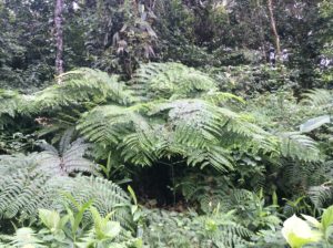
Arenal rainforest
Arenal rainforest
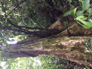
Butressed tree trunks. Walther explained this is an adaptation to give shallow-rooted, but large trees a means of support.
Butressed tree trunks called yoss. Walter explained this is an adaptation to give shallow-rooted, but large trees a means of pyramidal support.

image

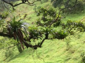
The growths on the tree limb are bromeliads, a sort of benign parasite (epiphyte) that tap into the life lines of a host tree. They collect water in their centers that in turn are host to other aquatic species. Here, poison dart frogs carry tadpoles as they're morphing into adults.
The growths on the tree limbs (above and below) are bromeliads, a sort of benign parasite (epiphyte) in the pineapple family that taps into the life lines of a host tree.  They collect water in their centers that in turn are host to other aquatic species. In Central America poison dart frogs carry tadpoles to them when they’re ready to morph into adults.

image

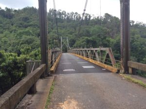
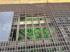
Bridge with grated steel decking......
Bridge with grated steel decking……
......with some problems.
……and some problems.

image

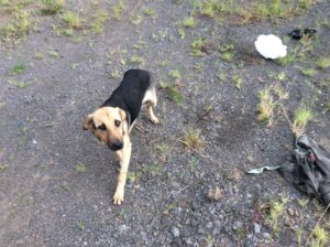
The guilty look of a dog that just ate my leftover chicken I was saving for lunch.
The guilty look of a dog that just ate leftover chicken I was saving for lunch.

image image image image image image

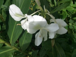
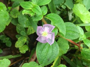
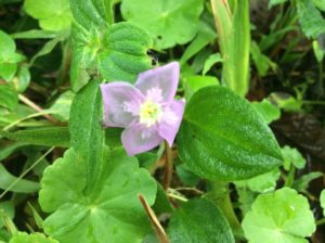
Translucent pedals
Translucent petals.
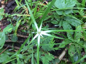
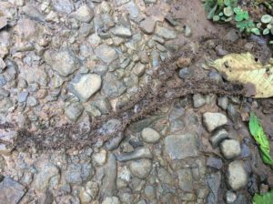
Ant trails.
Ant trails.

Next was a hilly route to San Ramone and then on to San Jose.   I needed at some point to replace the hiking shoes lost back in Mazatlán. I wanted to do a long hike to Coasta Rica’s highest point, 12,500 foot Chirripó, which was coming up.   San Jose was about the last chance for shoes.  I actually found a pair of lightweight Merrils for a premium price, but they should last awhile.  I had been in Tevas (a sort of hiking-grade sandal) since about Flagstaff, AZ.

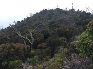
I left San Jose and began the long but fairly steady grade to the 10,970 foot pass located a half mile from 11,300 foot Cerro de la Muerte.  The highway traces an antient route from the southern coast over the crest of the Cordillera Talamanca to the Central Valley where San Jose is located.  Rainy weather at this elevation, even in tropical Coast Rica, can be quite cold, as I found out spending a wet night at about 9,500 feet.  Early Europeans were known to have perished there.  I was glad to have hiking shoes.
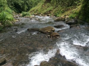
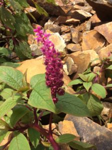
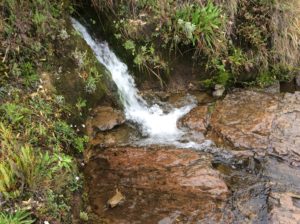
These rainforest streams are ice-cold and actually have species of trout in them.
These rainforest streams are ice-cold and have species of trout in them.

image

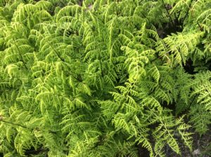
Above: Lophosoria quadripinnata
imageimageimageimageimage

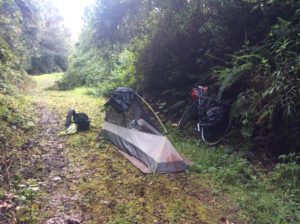
Camp on the way to 11,000 ft pass near Cerro del Muerte.
Camp on the way to the 11,000 ft pass near Cerro de la Muerte.

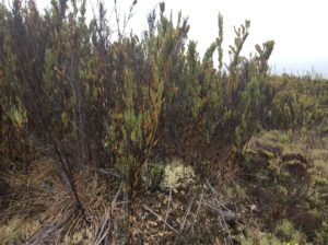
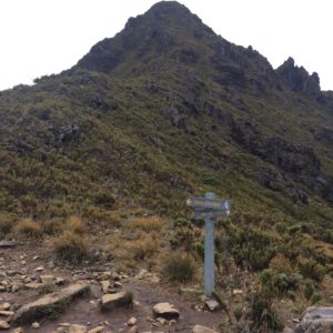
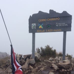
After a descent of almost 9000 feet to the town of San Isidro (and the total wearing out of a set of brakes), I checked into a hotel (and casino!) and investigated logistics for climbing Chirripó.  The 12,522 foot Chirripó requires a 25 mile round trip and nearly 9000′ of elevation gain. There is a hotel of sorts at about 11,000 feet that people usually stay at for about $16 a night. I did it as a “one-dayer” but really should have stayed a couple of days at the hut exploring an incredible place.  The Central American version of “alpine” is a unique habitat called the páramo which on Chirripó has become a world destination for botanists.  I saved no time in doing the long day as I needed two extra days languishing at the hotel in San Isidro till I could walk normally again after running much of the downhill trail.  Two days at the hut would have been far preferable.  I must say though that my knees held up well-  they were a worry not only in doing the long hike but for the bike journey in general.  All my problems however seem to have been a function not of worn meniscuses but rather of disuse- the biking has been a cure for that.

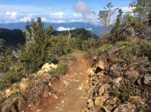
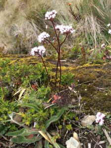
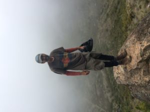
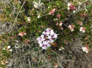
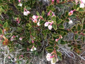
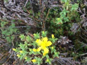
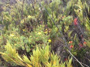
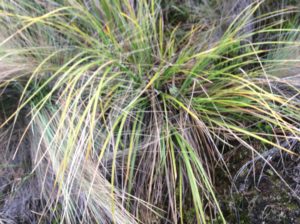
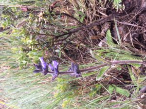
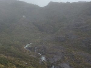
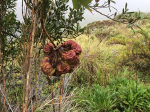
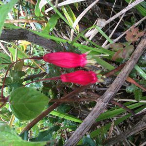
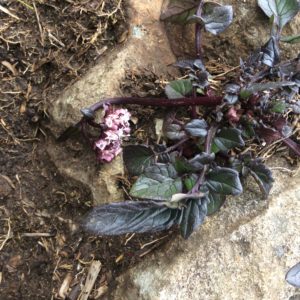
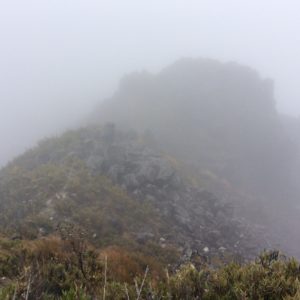
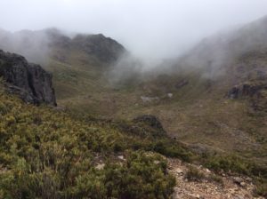
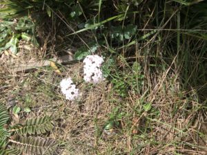
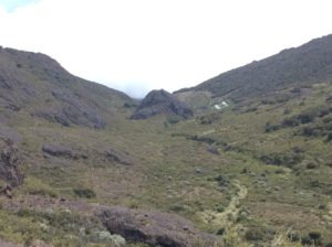
After trying to figure out the busses, I ended up taking a 4:00 am taxi 15 miles to the trailhead town of San Gerrardo for about $30.  The bike was left at the hotel.   I was hiking by 5:00 am while it was still dark.  I kept at a steady pace and did the round trip in about 12 hours.  The weather overall treated me pretty well with mist and occasional clearing, but on the descent the last few kilometers were done in a downpour and a trail that was a muddy river.  The photos below outline the trip- enjoy a virtual ascent.  Once in the “sky island” habitat, many plants became identifiable as counterparts to those in the alpine Rockies and Arctic.  Many are endemic and I wish I knew more which was which.
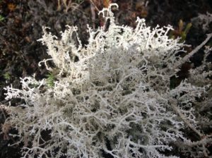
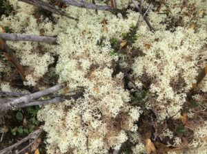
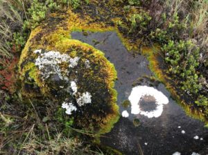
Something comparable to the arctic's reindeer lichen.
Something comparable to the arctic’s reindeer lichen.

image

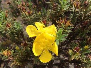
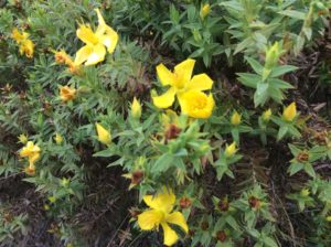
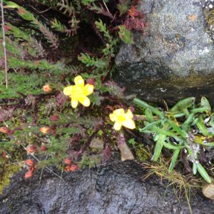
Above: Hypericum sp., or St. John’s wort.

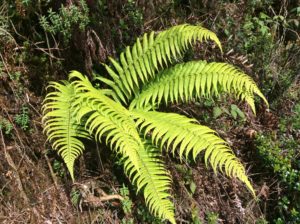
Below:  Dryopteris wallichiana
image

A fall on some slippery rocks and attempting to save the iPad. No big deal at home, but I've taken more care of it since it's the tropics.
A fall on some slippery rocks and attempting to save the iPad (which I did!). No big deal at home, but I take better care here with the greater risk of infection in the tropics.

image image

Chirripo trail.
Chirripo trail where you first emerge into the Paramo.

image

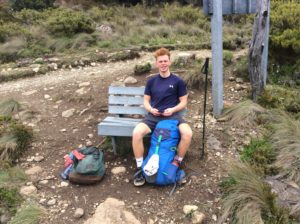
"Johann" but he had another pronunciation. He was from the Netherlands and we walked a couple of miles of trail together. He was an intern studying hotel management in San Jose.
“Johann” but he had another pronunciation I couldn’t get. He was from the Netherlands and we walked a couple of miles of trail together. He was an intern studying hotel management of all things in San Jose.

image

image

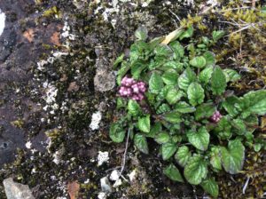
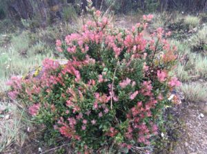
Heather/heath.
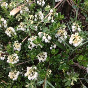
Heather/heath maybe Pernettya sp.

image

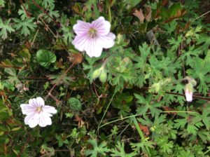
Geranium
Geranium
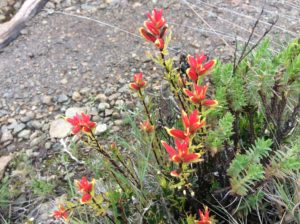
Castelella
Castilleja

image image image

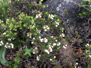
Some counterpoint to shrubby cinquefoil.

image image image image image image

Lichens here could pass or Boreal Usnea hirta
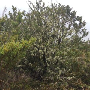
The lichens clinging to the tree branches could pass for the Rockies’ Usnea hirta.

image image

image

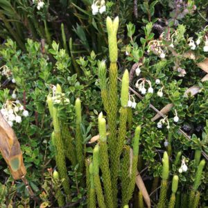
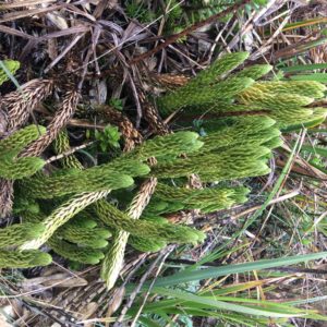
Above: Lycophytes.  Posssibly  Lycopodium clavatum or Phlegmariurus sp.
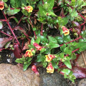
image image

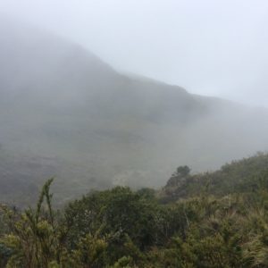
The day started clear but mist came from the Atlantic side that led to some light rain.

image

Above:  Lycophytes
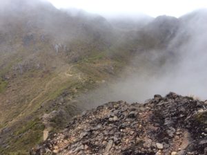
Vaccinium counterpart.

image

Achillea?

image

More Reindeer lichen
More Reindeer lichen.

image image image

Water I didn't hesitate to drink untreated.
Water I didn’t hesitate to drink untreated.

image

Glaciated valley
Glaciated valley.
Tarn
Glacial tarn.
Chirripo summit, a genuine horn.
Chirripo Summit. For the climbers out there, the fina summit trail was "3rd class".
For the climbers out there, the final summit trail was “3rd class”.
Claytonia megariza!
Claytonia megarhiza!
Summit. There were a few seconds of clearing, but no views of the oceans- just a sea of lower level clouds.

image image image

Achillea?
Achillea?
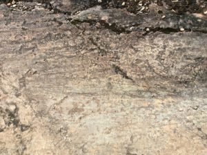
Straia or scratches left by a glacier.
Crestone Base, the high camp / hotel for Chirripo.
Crestone Base, the high camp / hotel for Chirripo, seen from a distance.
The Crestones. Granitic rocks above the Hotel that have climbs on them.
The Crestones, granitic rocks above the Hotel that have climbs on them.

imageimage

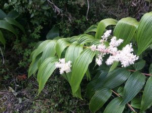
Smilacina Racemosa?
Maianthemum racemosa?

image

Above: Macrothelypteris torresiana
image

Forest fire remains.
Fly agaric, a poisonous anamita that grows in Alaska and New Zealand.
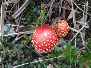
Amanita muscaria or fly agaric, a “risky” hallucinegen native to the Northern Hemisphere but now grows world wide.

Tomorrow if my legs are under me again I’ll start for Panama.  Never saw a Quetzal!
 

El Salvador, Honduras, Nicaragua, Costa Rica


July 13th,  2016

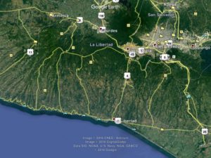
The winding road at the bottom was long and hilly but beautiful.
Closeup of El Salvador.  The winding road at the bottom was long and hilly but beautiful.
Ffggjfg
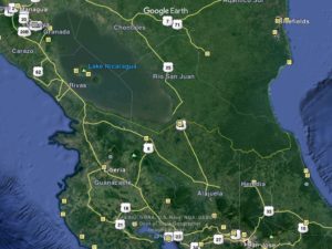
A small corner of Honduras was crossed.  I stayed in Choluteca before crossing to Nicaragua.


image

Tyttjydjj
Nicaragua & Costa Rica.

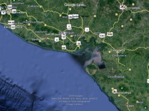
I detoured San Salvador, El Salvador’s capitol, and instead took a beautiful and winding road along the southern coastline that reminded me of Northern California’s Highway 1.  The rugged coastline gives way to more agricultural land to the south of San Salvador.   I stayed a night in Zacatoluca, a town that’s been in El Salvador’s news recently for the attempted arrest of its police chief on corruption charges and colluding with gangs.  He managed to slip away and it’s believed he was tipped off by authorities farther up the ladder.  Corruption is rampant in El Salvador.


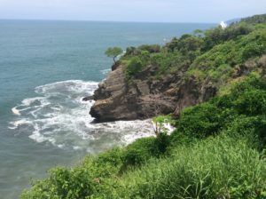
El Salvador coast.
El Salvador coast.  Hermosa.
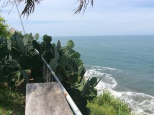
Still seeing cactus.

El Salvador, like its neighbors, endured civil war in the last quarter of the twentieth century. Once again a United Nation’s brokered peace ended hostilities, this time in 1992. The ceremony for the peace treaty was held at Chapultepec Castle in Mexico City where the president of El Salvador shook hands with leaders of the five main factions of revolutionary resistance. The resistance forces were granted a party in parliament. They struggled for the first years, but have won the last two presidential elections with Salvador Sanchez Cerén in office today.

El Salvador is home to two of the world’s most notorious gangs, Mara Salvatrucha 13 (MS 13) and Calle 18.  As civil war spread in the late 1970s the United States under the Carter Administration took in thousands of El Salvadoran refugees, many of whom were settled in poorer areas of Los Angeles, California.  Once there, they learned about American gang culture in an environment that couldn’t have been much improvement over civil war.  Many ended up in jail.  After the peace accords were signed a good portion were repatriated, particularly those serving prison sentences.  When they returned home they brought gang culture with them which easily found a foothold in an impoverished El Salvador.   Today the two gangs fight with eachother and with police.  The boundaries of all sides overlap.  The reasons for fighting are unrelated to the civil war and amount to a cycle of endless retaliation.  They find work doing “security” for the drug cartels. Homicide in the US was 4 per 100,000 persons in 2015 and as high as 16 in cities like Chicago and Los Angeles.  In the UK it was 1 per 100,000.  In El Salvador it was 103 per 100,000.  This is the highest rate of killing in any country that’s not officially at war.  Honduras and Guatemala are not far behind.   Check out http://www.insightcrime.org/news-analysis/insight-crime-homicide-round-up-2015-latin-america-caribbean for more info.

The city of San Salvador abuts Lago de Ilapango which is the caldera of a super volcano. The volcano is dated to have had a major eruption in the 500s AD and speculated to be the cause of an unusually hard winter and cool summer in the years 535-36 AD in Europe.   The result was crop failures and famine.

The morning I left Zacatoluca I stopped at a coffee shop and was asked by a guy, Manuel Barahona, where I was headed.  A native El Savadoran, he spoke English well and after talking a minute I offered to buy him coffee.  He declined but we sat talking for over an hour while I fixed a flat.  We went over some of my passport woes and he explained the procedures by showing me his passports of which he had one from El Salvador and one from the US.  He also had a California driver’s license.  He said he started out in the US 35 years ago as a taxi driver in Atlanta and later San Francisco.  He eventually became a citizen.  He now owns a trucking company in El Salvador.  He also owns a house in Redwood City (Menlo Park) near the Stanford campus.  He should have been buying me coffee.

Uh
Manuel Barahoma.
Kuyg
Zacatoluca
Many El Savadorean business signs have white lettering on a red background that's a vestige of the civil was revolutionaries. Whether it's a sort of union or just symbolic I never found out.
Manuel pointed out that many El Savadoran business signs have white lettering on a red background, sometimes with a star, that’s a vestige of the civil war revolutionaries. Whether it’s a sort of union or just symbolic I never found out.
Hh
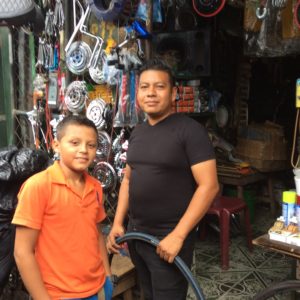
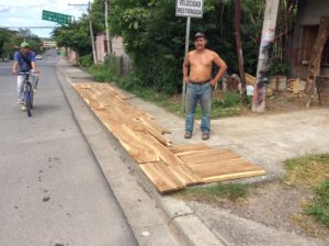
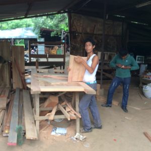
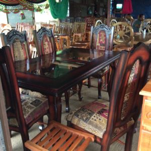
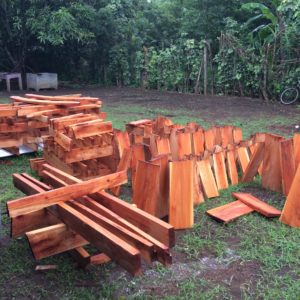
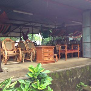
I passed several wood shops in El Salvador.  I make part of my living doing the same stuff these guys do.  The shop in this photo and the two below are owned by Jose Alcides Echegoyen.  (503) 64262218.  He’s taking orders!

Jiiugugui

Kfkhghvjgg


Hgughggjyjy
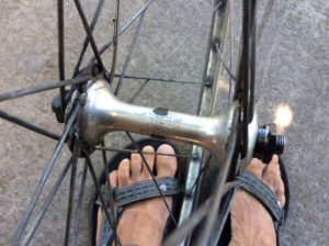
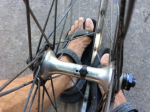
Readjusting and oiling a hub race.  These are vintage Campagnolo parts from the mid 1970s.  “Campy” components were said then to last a lifetime and it’s been a good portion of one for me now.  They’re still as good as new.
Gcf
The black clip slides off and exposes an oil journal.  I add a few drops of 140 WT gear oil with a syringe.  For the bottom bracket I remove the seat post and pour in a 1/4 cup of oil and lay the bike on one side then the other.  I do it once a month or so, or after riding in heavy rain.
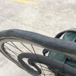
This tire's completely had it but is still holding air!
This tire’s completely had it but is still holding air!

image

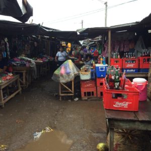
Buying a tire in a chaotic bazar in Masaya.
Buying a tire in a chaotic bazar in Masaya.  No armed security here.
G
Shop owned by Armando Romero.
J
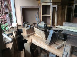
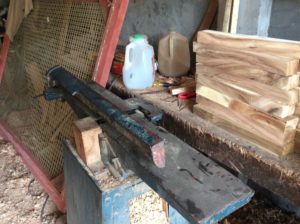
His wood lathe….
J
…….and joiner.
Iui
Armando drying wood.  His younger brother is on the bicycle.  (503) 76490019 – He’ll take orders as well!
Uhh
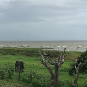
Looking across Lake Nicaragua to a faint outline of Ometepe, the world’s largest freshwater island.

image

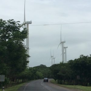
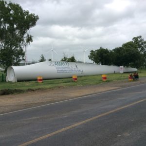
Wind farm along Lake Nicaragua. The enormous prop appears to be made of a composite of some kind.
Wind farm along Lake Nicaragua. The enormous prop appears to be made of a light weight composite of some kind.

image

Welcome to Honduras!
John,hvh
Honduras becomes noticeabley drier and has open savannahs.  Both Honduras and Nicaragua have about 1/5 the population density of El Salvador.
Uhhuhu
Honduras

I clipped a corner of Honduras that was less than 100 miles long and for which I spent only one night in the town of Choluteca.  I learned that I had distant relatives in the capitol, Tegucigalpa, about a day’s ride out of the way.  It was, however, an uphill day’s ride and I decided not to do it.  So, I had two border crossings in two days and long lines both entering and exiting each.  El Salvador and Honduras both had the “option” of just walking through but Nicaragua finally had check points that told you where you needed to go.  I’ll always wonder what would have happened if I would have skipped immigration coming into El Salvador; Nicaragua didn’t seem too concerned with previous countries.  Manuel seemed to think my problems could have been solved with a bribe.

Jerry gym,jaejr
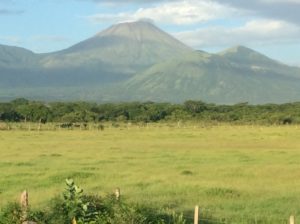
San Cristobal, the highest point in Nicaragua at 5725 Ft.

Jbh

Uuuh

image

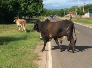
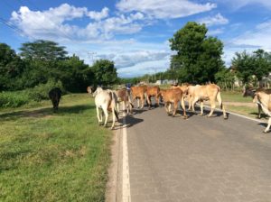
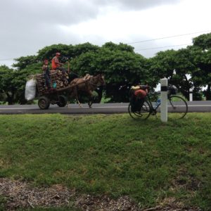
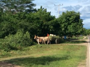
Cows and horse-drawn carts were common in rural Nicaragua.

Nicaragua is regarded as the poorest country per capita in Central America.  Cycling through you see fewer cars on rural sections and horse drawn carts are everywhere, even a few in the outskirts of Managua itself.   Poor maybe, but not impoverished, and the gut feeling is that people there are engaged and working.  Some statistics put Nicaragua at a better wealth equality than either Honduras, El Salvador or Guatemala and is close to that of the United States.  Not to get too carried away with comparisons, but if Guatemala seemed idle, Nicaragua seemed busy.  Their highways were the best of Central America yet, and consistently good throughout.  I know I got heckled a lot less there.

Nicaragua has had a great deal of turmoil throughout the Twentieth Century.  In a gray mix of Monroe Doctrine, Roosevelt Corollary and protection of American investments in Central America (Nicaragua was then, and is still today, a proposed site for a Pacific-Atlantic canal) the US Marines occupied an unstable Nicaragua in 1912 and stayed till 1933 except for a short period in 1925.  During this time Anastasio Samoza held positions with the marines and found his way to a contrived sort of presidency in 1937, a few years after the marines left.  In 1934 he had a resistor of the US’s installed government, Augusto Sandino, assasinated.  Today’s Sandinistas (the FSLN) take their name from Sandino.

Samoza evolved into a textbook example of a corrupt dictator.  Among many notorious acts, he dutifully declared war on Germany when the time came but never supplied troops.  He instead took the opportunity to confiscate German assets and land posessions in Nicaragua for personal profit.  He was finally assasinated in 1956 and a more benevolent son took over for a few years but died of a heart attack.  Several Samoza puppets held the presidency until 3rd son Anastasio Samoza Debayle became president in 1967.  To paint a picture of what he was like, he made the famous statement I don’t want an educated work force, I want oxen.  

In 1972 Managua endured a devistating earthquake that destroyed much of the city.  Emergency aid was sent from around the world but rumors were out that supplies weren’t getting to intended destinations.  Pittsburg Pirates outfielder and now hall-of-famer Roberto Clemente had donated and organized 3 plane loads of goods thought to have been held up by corrupt officials.  He traveled with a 4th plane to make sure it got to folks in need but the plane went down and he was killed.  He’s remembered though by Nicaraguans and south of Managua in the town of Masaya he has a stadium named after him.

The years following the earthquake showed haphazard rebuilding in Managua, and further increase in wealth for the Samoza family.  Rizing unpopularity saw the end of the Samozas in Nicaraguan politics in 1979 when they were ousted by the Sandinistas.  The new government was led by  a committe of several persons, the Junta.  They had ties with communist Cuba but with the reputation the Samozas had created, the Sandinistas were granted aid for a short time by the Carter Administration.  When it was later learned that Nicaragua was supplying arms to El Salvadoran rebels the aid was cut off.  Ronald Reagan then came to power and any thoughts of aid were turned instead into support for Samoza-led Contras then amassing on the Honduran border.  The United States congress was divided on the issue but the passing of the Boland Ammendmant was a measure to stop military aid to Nicaragua.  Members of the Reagan Administration and the CIA attempted to go around the amendment and it soon evolved into the Iran-Contra scandal.  The details are many and tragic, loaded with failed policy, and at times comical.  Go to https://www.brown.edu/Research/Understanding_the_Iran_Contra_Affair/n-contrasus.php for more of the story.    The big picture might be summed up as the United States and the Soviet Union (through Cuba) supplying some of the world’s most sophisticated weaponry to a pair of opposing sides for whom concepts like communism and capitolism were at most abstractions: They slaughtered eachother.

The FSLN’s Daniel Ortega assumed the first Sandanista presidency in the late 1980s, but under international pressure a free election was held in 1990.   Ortega lost to former Junta member Violeta de Barrios Chamorros.  He ran and lost a couple of more times but then won in 2007 and holds the presidency today.  He’s been a controversial figure over the years and has many times surprised the world with stands on given issues.  If nothing else he’s a survivor.

image image image image image image image

Shop of Armando Romero. An area between Managua and Masaya had several shops that were really turning out some fine work. This shop belongs to Armando Romero. 764 90019.
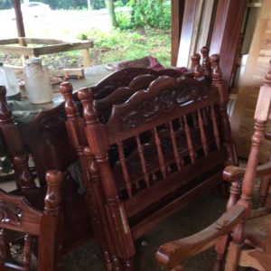
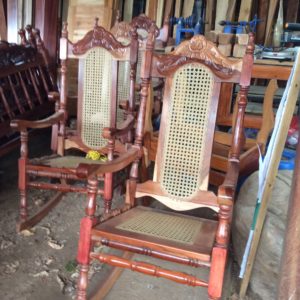
An area between Managua and Masaya had several shops that were really turning out some fine work. This shop belongs to Jose Leonel Ambota Chavez.  C177747829.  He had an antiquated cell phone and no knowledge of Internet use.

image

Welcome to Costa Rica
Welcome to Costa Rica!  The bird center screen in the lower photo has his head buried in the abdomen and was kicking up dirt with his feet to get in as far as possible.  Watching them was hilarious.

After long and glacially-slow moving immigration lines (in un-glacial heat) I crossed into Costa Rica where camping again became easy.  I even spent one night in a pine forest on the order of hundreds of acres is size that someone had planted evidently for a timber investment.  Hearing the wind through pines was a nice reminder of home.  Camping opportunities since leaving Mexico have been few and hotels expensive.  I paid $75 one night in Managua, $60 routinely in El Salvador and $60 the one night in Honduras.  I probably could have done better but at the end of a long day there’s not much energy left for shopping around.  Planning ahead with Internet searches is tedious and fraught with obsolete websites.  Hotels in one town in El Salvador, Usulutan, repeatedly turned me away.  I barely found a place in waning daylight, and it’s a town where a gringo took chances being out after dark.  I’m now at Nuevo Arenal on Lake Arenal in a reasonably priced hotel in an otherwise expensive economy.  The lake is amazingly beautiful but correspondingly touristy at an international level.  English speakers are common.  It’s been rainy.


Tehuantepec to El Salvador

July 1st, 2016

Chiapas
Chiapas
Hhgg
Guatemala

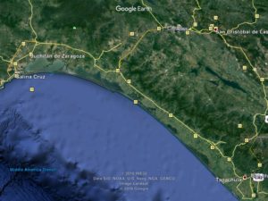
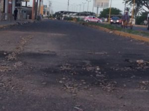
After the several days of hill climbs I took an easy day after Tehauntepec going only twenty miles to the next town, Juchitán.  The topography there is coastal flats and a mix of jungle and agriculture.  Ten miles from Juchitán I could see a column of black smoke coming from the town.  Going into town you cross a wide, four lane bridge spanning a sizable river.   On the other side sat two smoldering busses, end to end, each blocking a direction of traffic.  More protests. The busses would have been set on fire about the time news of the killings in Nochixtlan reached the coast.   I could see a way the bike could squeeze through around the bus blocking the oncoming traffic lane.  Just then a power line that went along the left side of the bridge fell to the railing/decking. A guy on foot moving ahead of me started to turn back.   The fallen wire made a ninety degree turn from a pole at the busses and crossed over them where it was burned through.  It had landed on top of the bus I was headed for, but had left a way under it at the bus’s end, so I crossed over anyway.  There was some steel decking that I wanted to keep the rubber-tired bike moving over, but the guy on foot was unaffected so I guess it was safe.  I just wanted to get to town and duck into another hotel.

The town was completely on edge.  Businesses were closed and two large grocery stores had put plywood sheets over their windows.  Two hotels turned me away but I did find a decent place towards the center of town.  I got groceries at a small store that kept its wrought iron gate/door locked and handed stuff through the bars.  I found a bank ATM and was relieved to get some cash after not being able to in Tehauntepec.

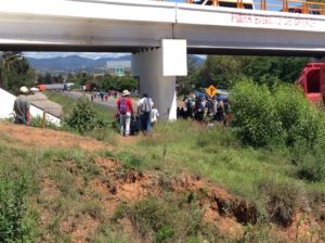
This bridge I'm pretty sure is the one the lady on Democracy Now was interviewed under. I was warned by bystanders about taking pictures and I'm not including any with recognizable faces. With The number of iPhones around I'm not sure how they could really control it.
Nochixtlan.  This bridge I’m pretty sure is the one the lady on Democracy Now was interviewed under. I was warned by bystanders about photos as I was taking them.  Ostensibly, both sides could have reasons for not wanting them.  I’m not including any with recognizable faces.  Though with the number of iPhones around- and everybody here, down to the most unlikely you could imagine, has them- controlling it would be impossible.
Nochixtlan.
Nochixtlan.
El Cameron Yautepec, a mountain town south of Oaxaca.

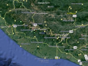
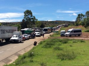
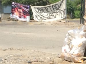
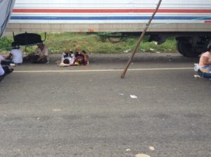
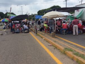
At this point I just wanted to put distance between me and the protests.  The hills/wind/road surface/ shoulder/weather stars all aligned and the next day I did a 98 mile day to Arriaga, followed by a 92 mile day to Mapastepec and then 70 to Tapachula which is then less than a half-day’s ride to the border with Guatemala.   In Tapachula though, which is in Chiapas, protests were once again starting up.  But everyone was all smiles, as in Nochixtlan where I first encountered it all.  It had the feel of a farmer’s market with tarps and umbrellas set up among the stopped trucks.  Food vendors were pedaling carts through the melee.  They seemed confident in their solidarity and appeared to be more catching up on gossip than preparing for a show down.

Burned busses.
The burned busses are at the top of the photo.  I took this the following day heading out of town.
Protests beginning in Tepachula, Chiapas.

image Continue reading Tehuantepec to El Salvador