October 20, 2016
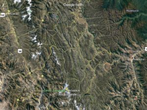
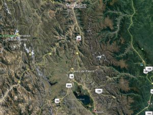
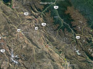
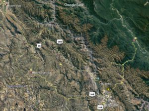
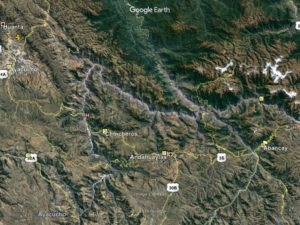
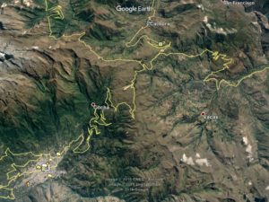
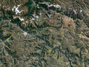
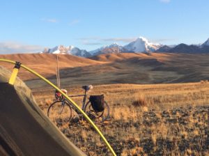
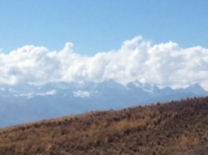
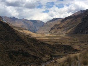
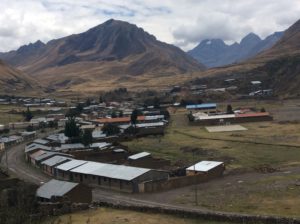
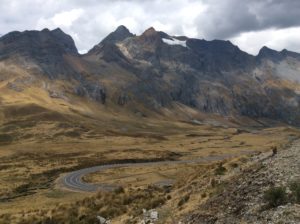
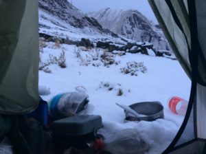
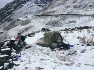
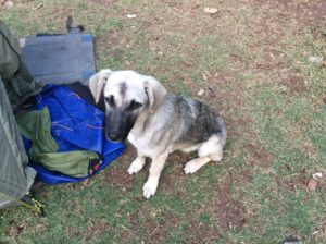
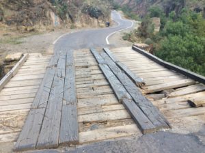
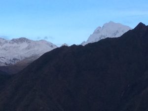
After an extended rest in Huaraz it took a couple of days to get back to full strength again. The route continued uphill to a pass at 15,493 feet, Yanashalla, on the second day, at the top of which 18,000 foot peaks were near by. Got snow overnight at a camp near the top. Then it was down to 10,000, up to 13,000 and way down to 6,200 feet and the town of Huánuco. The downhill stretch to Huánuco started out with fast, easy grades winding through small villages. Waving people, chasing dogs and steep drop offs would have made for good headcam footage. The pavement was punctuated with dirt stretches but soon deteriorated into dirt punctuated with chuckholed pavement and had to be taken slow. It was hard on the bike and gear regardless, but a good test for the fork repair, which held up.
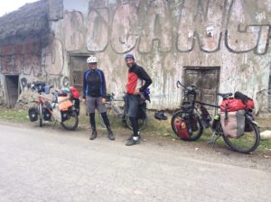
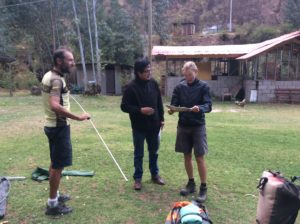
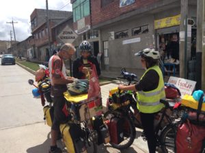
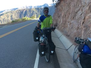
Somewhere after the town of La Union I caught up to a couple cycling from Berlin, Germany- actually East Germany which was the USSR when they were growing up. They had cycled across Europe to Lisbon, Portugal and then flew to New York. They pedaled to San Francisco then down the west coast to Baja’s tip and ferried to mainland Mexico. They zig-zagged through Mexico, took a side trip to Cuba, and then took the sail boat to Colombia that enabled cycling the part of Colombia I had skipped. They’ve been on the road for 17 months and plan to go to Ushuaia, and on to Australia. We ended up traveling together for several days and it was good to have company. You’d think we would be learning alternative approaches to the world of long distance cycling from eachother, and though there were a few things, it was amazing how similar we were. We were pretty much in lockstep from the beginning.
Ina and Mirko were on mountain bikes and consequently traveled a little slower than me. They estimated that they would have a hard time making the tip of S. America before Austral winter and decided to take a bus over the last torturous and time consuming passes from Huancayo to Cuzco, so we parted. I may catch up to them again in Argentina.
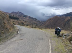
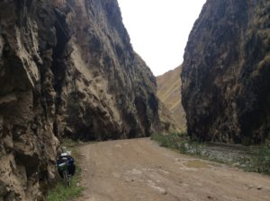
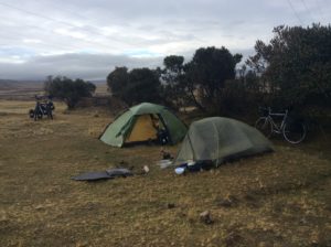
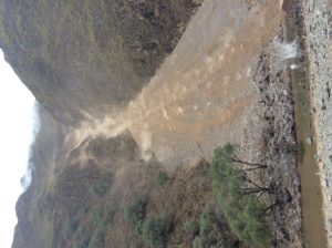
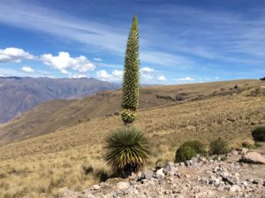
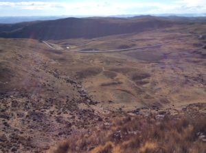
On my own again, I resumed the enormous grades that would eventually lead to Cuzco. There were a total of nine high points between Huaraz and Cuzco, all over 13,000 feet, most over 14,000, and the one, Yanashalla, at 15,500. The lowest point was about 6500 and the longest uphill about 8000 feet. As difficult as it sounds it was incredibly beautiful and actually enjoyable. Traffic was lite having stretches with less than a car every 1/2 hour, much of which was on manicured roads. Peruvian grades are not in general as steep as elsewhere in Latin America, perhaps to lessen brake loss fatalities. I seem to be inured to the uphills and keep getting stronger; the main differences are with altitude. At over 14,000 feet muscles simply don’t work as well but a couple of hours drop to 7000 feet makes climbing again feel like you’re on steroids- professional sports training camps would do well to locate high in the Andes.
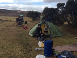
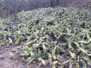
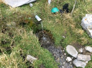
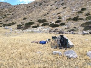
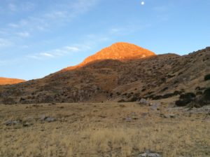
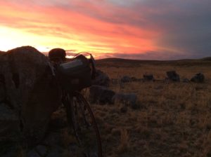
I tried to time camps to be at higher elevations where people, bugs and cactus thinned out. There were some beautiful camps. Lower down I would encounter a species of no-see-um that made fixing a flat a challenge and camping resigned to the tent. After, there were days of incessant scratching. Over about 12,000 feet bugs pretty much disappeared.
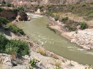
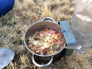
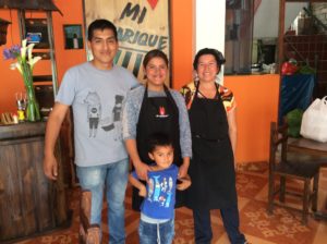
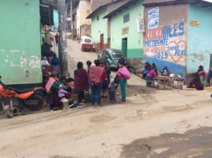
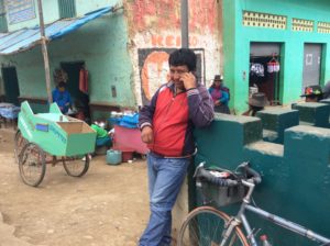
The people of Peru have been very friendly and prices here are very cheap. Food in general has been wonderful and I can get a breakfast of eggs, rice, potatoes (Peru is where the potato comes from), veggies and quinoa in a stir fry with a choice of meat, all for less than $3. Yuca, a sort of stringy potato, is common and very good as well. I’ve never felt unsafe really anywhere in South America, and Peru has been as welcoming as anywhere. You get stories of bandits disguised as policeman or gang violence or kidnappings and though these things happen they’re isolated. It’s not unlike a traveler to the U.S. wondering the likelihood of being involved in a random shooting; for the vast majority of the country it would be highly improbable. People are just going about their lives and Latin American culture is not far out of step with the US and Canada.
Getting to Cuzco was a major milestone. It has put me into territory I’ve been to before, having visited Machu Picchu in 2007. I’ll be on roads into Bolivia that I’m familiar with, at least from the perspective of a bus. I remember the confinement of bus travel and looking at the sparsely populated, high Bolivian landscapes and thinking how nice traveling in the van would be, camping whenever and wherever. I wouldn’t have guessed that ten years later I’d be here by bicycle. The terrain from here should both straighten out and flatten out, with direction of travel for once actually tending towards the destination. In Bolivia I’ll be crossing the Altiplano, which is high, over 12,000 feet, but stays high without the drops. There’s a favorable probability I’ll get tailwind. We’ll see.
Hi Steve, so glad to read (actually, finish reading) your blog today. I’m clinging to anything that tells of a larger world; a multicultural stance. I’m sorry to say that the mood is pretty somber and/or angst-filled following the election last week. It’s hard to believe we have done this to ourselves.
So fabulous and educating, Steve. Really surprised that there are a few other intrepid travelers doing as you do. So glad you are meeting some of them. Had to look up trundling and feel there is so very much more to know about the geologic history of this beautiful land. You seem to be having a wonderful time. Continued happy travels.
I always look forward to your posts, and I love following your travels. They make me a bit jealous and restless, but I could only dream to have the gumption of Steve Walker.
Can’t wait to read more, be safe.