December 6th, 2016
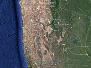
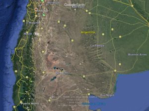
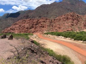
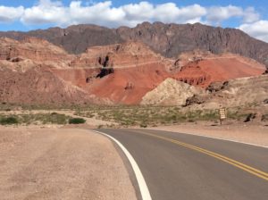
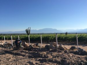
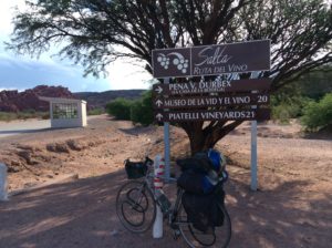
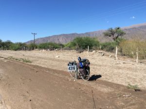
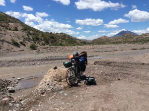
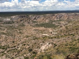
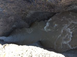
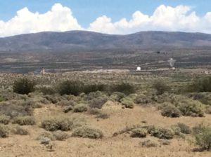
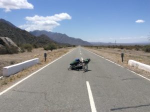
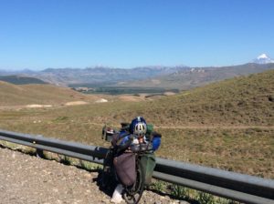
Since the last post from Salta I’ve covered 1800 miles to the town of Angostura, about 30 miles north of Bariloche. It took just over three weeks. The cities of Jujuy and Salta are at the extent of a green, dry-tropics climate that is part of the Paraná River basin which drains into the Atlantic at Buenos Aires. To the south of Salta the route took me once again onto desert-dry terrain that climbs onto a lower version of the Altiplano, never exceeding about 8000 feet and averaging more like 4000 or 5000 feet. Over these vast deserts there are counterparts to all of our North American deserts from the Mexico and Arizona Sonora, to California Mojave, to Utah’s Colorado Plateau, to Nevada’s Great Basin, to Wyoming stepps. The distances between towns could be over a hundred miles and twice I was caught short on water over roads that maybe I saw a car per hour. I’ve ridden straight days since Salta, several were over 90 miles with one at 120 miles. A few that covered 30 or 40 miles sufficed for rest days. Winds have been variable with some very good tail wind, but also head winds and one day of horrendous side winds that blew the bike around on a shoulderless stretch with heavier than usual traffic. There was road construction in a couple of places and stretches of dirt road that, all told, added up to over a hundred miles. I was following Ruta 40, an Argentine highway with a sort of Route 66 or Lincoln Highway reputation that spans much of the country’s north-south expanse. There are certainly not the grades of Peru on Ruta 40 but it’s hilly just the same, although in a manner that keeps it more interesting than difficult. It was all very beautiful.
-
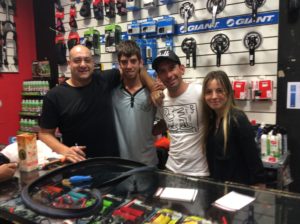
Enzo, Martin, Guevara, and Lali of Maxi Bici Bikes in Mendoza. These guys gave me a new chain and a bunch of accessories all free gratis. Stop in if you’re ever in Mendoza! http://Maxibici.com
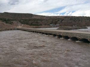
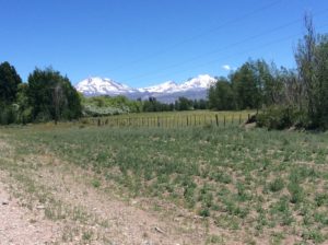
I had intended on a layover in Mendoza which is about the half-way point between Salta and Bariloche. I wanted to climb Aconcagua, South America’s high point at 22,900 feet and Mendoza is about 100 miles away, the nearest big city and a take-off point to the mountain. Plans were foiled when I discovered it would cost me around $1500. The permit alone is $729. Gear rental, buses and mules to transport everything to base camp add another $700 or $800. I went to about 20,000 feet on the mountain in the 1990s but got weathered off and always wanted to get back to it. Back then, a permit was about $80. I had skipped the mule rental then, but started out with a pack weighing 105 lbs- something I don’t want to repeat at this point in my life- but a mule and driver would be over $300 now. I was disappointed because it was the one mountain I could realistically do by myself. There are no major glaciers to get to the summit by the easiest route which is essentially a hiking trail. I had a good head start on acclimation with all the time spent on the Altiplano. The effort to cover ground quickly from Salta was in part to enable extra time for Aconcagua. I was disappointed but for that kind of money it just wasn’t worth it. You’re not required to hire a guide, like in Ecuador, but Argentina is not blind to the fact that the highest point in the Western Hemisphere is a true commodity with plenty of demand in the 21st century. Argentina has, of course, many other great summits but none that I had much familiarity with and none made as simple as Aconcagua. Part of the price I guess.
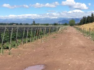
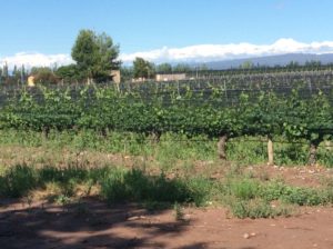
Mendoza has an almost mythical reputation for fine wine, good climate and enjoyable atmosphere. I arrived early the day I got there but ended up in a less than desirable hostel. That afternoon I got all the bad news on Aconcagua, and decided to head out the next day. I found the city fairly chaotic and after all the hype was actually glad to put it behind me. Bit of sour grapes, perhaps. They’ve got the wine part of it right though- in Argentina in general you can buy a Malbec or Cabernet for $3 a bottle that is better than anything out of California for $15 or $20. They (the locals at least) say that Argentina is now making the world’s best Cabernets. And wine is everywhere; a large grocery store will have thousands of bottles lining aisles. Street corner markets will have hundreds. Leaving Argentina could take some adjustment.
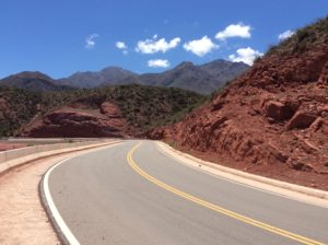
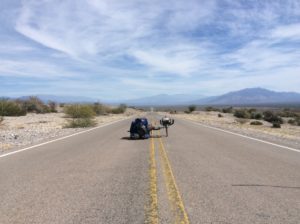
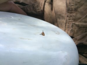
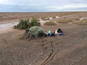
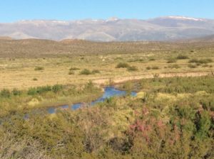
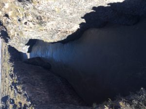
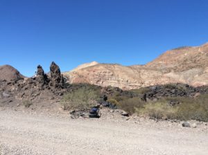
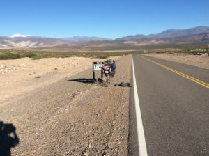
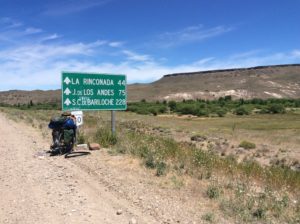
Some rainy days followed but soon I was again on high desert and somewhat able to plan days around wind cycles. For the most part that meant getting going as early in the morning as possible, in relative calm, and then either going for a big mileage day in afternoon tailwind or shutting down for the day having at least gotten some mileage. But tail winds are like a drug and when you get it, and then don’t, your life becomes miserable. You can really do a number on yourself trying to force long mileages on days when it’s just not meant to be. Basing what supplies you pack on hopes of tailwind is a dangerous gamble and I got burned with it on one occasion trying to get to San Juan, a major city just before Mendoza. I pulled into the city out of food and water and pretty hammered.
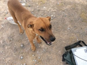
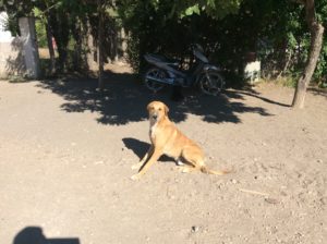
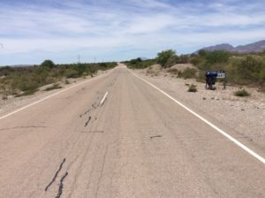
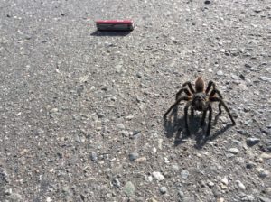
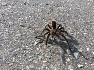
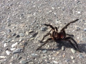
I ran short on water again south of Chos Malal when a well meaning couple stopped and offered some. I was getting down to my last as afternoon heat was settling in and though they only had a few swallows to give, it was good and cold. We talked for a bit and exchanged contact information. They said the next town, Las Lejas was only 15 kilometers away (less than 10 miles). I asked about the mileage at least a couple of times to confirm it and then drank the rest of what I had confident I was close to a town. It turned out, however, that La Lejas was more like 45 km (25+miles) and against a head wind that had picked up. The real irony though was that I passed up a water source a couple of miles later at this roadside stand selling drinks out in the middle of nowhere. I was mad at the misinformation but even madder at myself for not hedging my bets. I ended up camping on a muddy stream 6 miles from Las Lejas that I was lucky to find. I never could get the water clear enough for the UV purifier to work properly and had to drink it murky. That’s been more than a week ago and no ill effects yet.
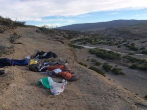
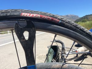
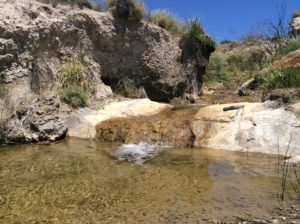
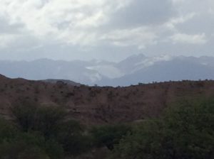
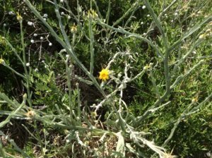
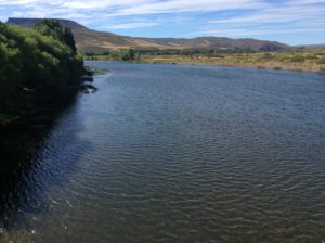
Zapala is the next good sized town encountered but then it’s another 100+ miles to Junín de los Andes over the last desert stretch before entering forested mountains. I was much better prepared beginning that leg and was rolling at daybreak to get a head start on wind for the longest part. I didn’t quite make Junín, but crossed the Rio Collon Cura, a beautiful, clear running river, reminiscent of Idaho’s Payette where it leaves the mountains prior to its confluence with the Snake. I’ll do another plant segment, but mention now that as elevation, latitude and climate go through similar zones to that of the western U.S., many of the same familiar weeds are seen. Here at the Payette’s counterpart I found good old star thistle, a nasty little Idaho knapweed to be avoided if you’re wearing anything but cowboy boots.
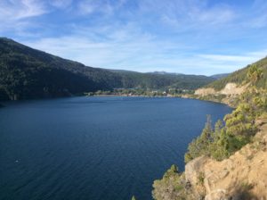
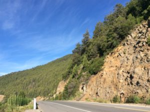
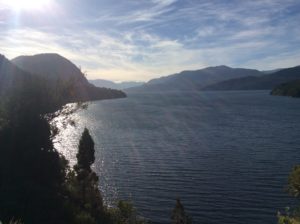
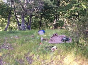
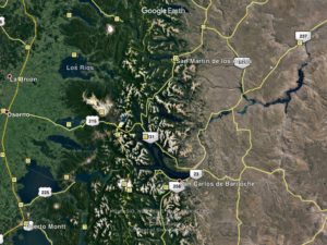
A desert akin to Wyoming stepps is left behind when Ruta 40 enters mountains near San Martín de los Andes, and follows a route called The Seven Lakes to Angostura and Bariloche. San Martín is a ski town with commensurate prices and I didn’t stay long. The Seven Lakes route travels Alp-like mountains and the area from there to Bariloche is National Park through glaciated valleys and lakes. It rained for most of it and the iPad battery was dead so I took no pictures but there are plenty to be found on Google Earth. The resemblance to the Alps attracted German settlers as early as the 1880s and there are tales that many Nazis fled to Bariloche and surrounding areas after WWII. There is even a myth of Hitler living here with Eva Braun. It’s true an SS Captain, Eric Priebke, was a director in the school system after the war but that may be the extent of it.
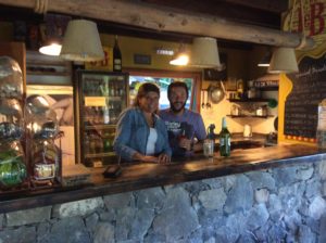
I’ll end with a link to a song from a new album by Nathan Walker; scroll down a bit for a short article and video of his song Bobby.
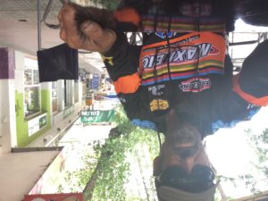
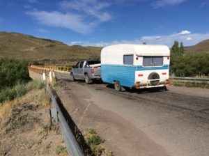
Forgot to mention that I got a real kick out of two things–the vintage-looking trailer, and your “official biker” comment with your new jersey.
Seeing the similarities in terrain to many spots here in the western U.S. is very interesting. That is sad about the enormous jump in price for the hike you had been counting on doing.
Your journey continues to amaze me!
Dear Steve,
I’ve just read your Dezember -Report and I’m realy impressed of the circumstances you have to Travel in. Thanks although for the nice words you picket for The Time we spend together.
I have someone Bad news to: they took my swissknife at the Airport in Calafate, should have better gave it to you, damn.
I’ve had some beautyfull days in Calafate , where I rent a Bike for a day, just to taste The experience you have all day!
I’m back to Buenos Aires to See my friend for The of the year .
It’s terrible heat here , about 32 degrees over 0 , bloody hell!
I’m heading for Uruguay After capo d’anno to stay at The Sea for The last days.
My best wishes for you Steve, hope you’ll find a good place to fade out this year.
Suerte my friend!
Steve–Happy New Year! Continued safe travels in the coming year!
Merry Christmas Steve!! Hoping you have a good Christmas day and that your journey continues with the love and kindness you’ve bestowed and received along the way. Best regards.
Hi Steve: great information and fotos I just remember you and I drinking coffee and now you are almost near to the end of the continent.
Keep going your incredible journey my friend GOD BLESS YOU
Thanks Jose, I still have the little grass woven momento you gave me as I was leaving. Hope you can continue working towards an architecture degree. Steve
Hey Steve Walker!! Steve, Amy, Jenna and Will want to wish you a Happy Birthday!! We have been following your journey on a world map in our kitchen. You’re awesome!!! 🎉🍰
Thanks folks. Hello to all. Still got the Inside Passage in the back of my head- could be part of this trip. SW
Hi Steve, I was disappointed for you that the permit to climb was so expensive. Bad inflation or a chance to make money.. I’m amazed how many miles you’ve logged now! Good to hear from you again. Nice plug for “Bobby ” and I think you look very cyclistic in the jersey, cool. Take care.
Wow, impressive days of riding, Steve! The photos are fantastic and amazingly similar to Utah, I would have never known. Love to hear about cool people that hook you up. The jersey looks great 😉
Nathan’s a great wordsmith, singer, songwriter! Love his stuff!
Safe travels!!
Thanks Mary!
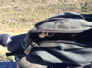
As usual, I’m just overwhelmed with fantastic information. When will our world realize how much we have in common. Scenery, for instance, just repeats and repeats itself. People seem so similar, too! One could be practically anywhere. I was so amazed to find the hills outside of Assisi, Italy seemed to replicate to a tee the terrain as one approaches Logan. Many people from here who had been to Assisi before me had told me about all this beauty, but I had seen it all BEFORE! Watch for: 1) Dangerous, horrible-looking little animals, 2) People who actually take pleasure in misinforming unsuspecting people. Please always look for a second, even third opinion when it comes to food or water ahead opinion, and finally, 3) an e-mail from me. Happy trails. Can’t wait for a visit. Pam
Thanks Pam too!
Damn Tribulus! Innteresting that you found a star thistle. And that tarantula!