July 24, 2016
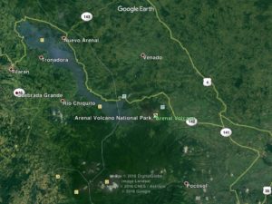
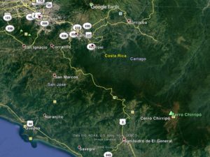
Well, I’m still in Costa Rica. It’s turning out to be a hard place to leave and for two reasons; i) there’s a lot to see and do here and ii) the roads to get to any of it are unbelievably hilly and winding. I’ve tried to plot as linear a route through it as possible, but regardless have put in double the miles required to cross El Salvador, a country of similar size. A day’s ride encounters continuous Sisyphean up/down hills with one section having the high point of the Pan American highway for North America at just under 11,000 ft. This pass is considered the main highway, and the shortest route thru, but can be detoured by a coastal route which I would have taken had I realized its height. Having done it, I’m glad I did- it was incredible.
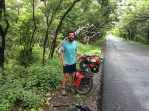
I forgot to mention in the last post that not far into Costa Rica I passed the first fellow cross-country bike traveler I’ve seen yet, he headed north. We stopped and talked. His name was Jóse (joe-see) and he’s Brazillian. He had traveled from Ushuaia, the southern tip of Argentina and where I’m theoretically headed. Jóse’s heading for Alaska. I managed to lose his contact information before I could get it into the computer so, Jóse, if you log onto cyclingagain.com send me a note with your info. If you go through Logan, Utah I’ll line you up with 20 different people you can stay with.
Guatamala leads the world in having the greatest number of endemic species, that is, species that occur only in Guatamala. Costa Rica though, leads the world in overall biodiversity having 4% of the Earth’s species while having only 0.03% of the land mass. Much of the rainforest is still unexplored and new species are discovered routinely. Being an object of world wide study as well as having a thriving tourist industry has kept the country’s natural habitat well insulated from extractive industries. About 25% of the country is protected as parks and preserves. Any logging of wild habitat has been essentially eliminated in the 21st century.
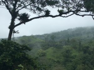
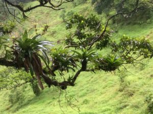
Several people recommended Bosque Nuboso Monteverde National Park but to get there meant not only hills but also retracing the route to get back to the main highway. I settled instead for a route around Lake Arenal followed by a tertiary highway that clipped a corner of the cloud forest habitat of Monteverde between the towns of Fortuna to San Ramone. From there main highways took me to San Jose, Costa Rica’s capitol.

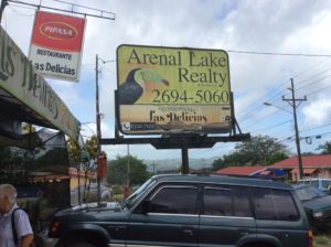
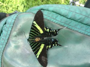
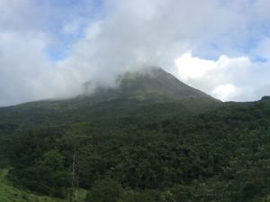
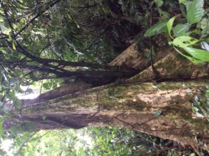
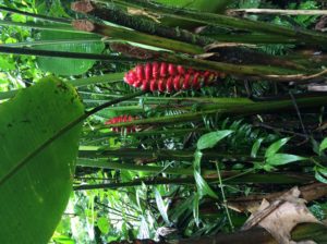
Lake Arenal is actually a reservoir who’s impoundment has been expanded over the years, with its present size completed in 1979. Built mostly for hydroelectricity potential, it supplied Costa Rica with 70% of its power in 1979. Growth in consumption has reduced that percentage to around 15% today. While in the Lake Arenal area I spent an evening and morning hiking around Volcán Arenal in rainforest habitat that leads into lava flows higher on the volcano’s flanks. Arenal began a slow, depositional eruption in 1968 and continued poring debris 4000 feet down its west side till December, 2010. Climbing it is illegal but locals have been to the summit since it stopped erupting, although at the risk of breathing toxic gasses. A national park is on the volcano’s west side but I ended up paying a pricey $8 fee to hike in a privately owned system of trails that abut the park and are more accessible to a bicycle traveler. I saw rainbow-billed toucans, a scarlet-rumped tanager, a glimpse of a spider monkey, crested guans, chachalacas. There are several species of chachalacas, but one that’s been with me since Sonora has a call as penetrating as a sandhill crane but with distinct notes that defy description. Maybe like a rooster trying to mimic the catcalls of a shrike- you’d just have to hear one. I first heard them when I was sick north of Mazatlán where they added a bit of bizarreness to a delerious night in the gravel pit.
There was a building at the trailhead where the fees were collected by a guy who was well versed in the natural sciences of the area, Walter Stellar. He spent quite a bit of time with me explaining birds and plants. Evidently ecotourism has evolved in Costa Rica to the point where younger folks go to school for a couple of years for accreditation as a tour guide. They’re given a solid background in binomial taxonomy for plants, birds and mammals and learn some of the science behind adaptations. They’ll know the basics of geology and human history.
Venomous fer-de-lances, pit vipers like our rattle snakes- but no rattles- are found in the area and a few folks had just returned from photographing one near the trailhead. Walter walked with me to see it but the snake had moved on a few minutes before we got there. I saw people’s pictures though and he looked big and formidable. It kept me on edge walking the trails. Walter explained a little of the development of anti-venoms and how individuals from the same species can have different neurotoxins that require specific anti-venom. The anti-venom is derived by giving horses small doses for which the animals create their own antibodies. Then both the horse’s blood and antibodies are matched to a patient. It’s low probability to have a bad encounter hiking a trail, but he said folks working sugarcane fields with machetes are bitten not infrequently and the country prides itself with quick response time and few if any fatalities. In historic times people would often die from fer-de-lance bites. It was all quite fascinating.
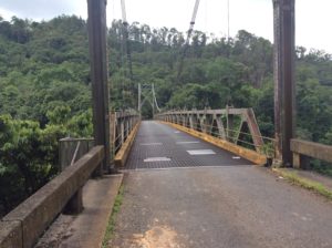
Next was a hilly route to San Ramone and then on to San Jose. I needed at some point to replace the hiking shoes lost back in Mazatlán. I wanted to do a long hike to Coasta Rica’s highest point, 12,500 foot Chirripó, which was coming up. San Jose was about the last chance for shoes. I actually found a pair of lightweight Merrils for a premium price, but they should last awhile. I had been in Tevas (a sort of hiking-grade sandal) since about Flagstaff, AZ.
I left San Jose and began the long but fairly steady grade to the 10,970 foot pass located a half mile from 11,300 foot Cerro de la Muerte. The highway traces an antient route from the southern coast over the crest of the Cordillera Talamanca to the Central Valley where San Jose is located. Rainy weather at this elevation, even in tropical Coast Rica, can be quite cold, as I found out spending a wet night at about 9,500 feet. Early Europeans were known to have perished there. I was glad to have hiking shoes.
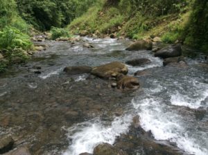
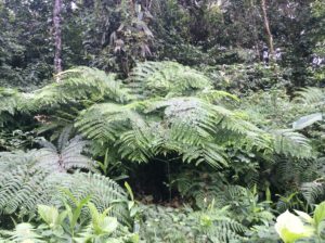
Above: Lophosoria quadripinnata
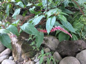
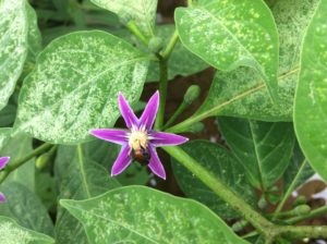
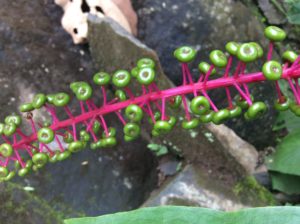
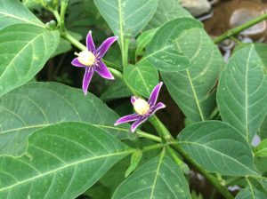
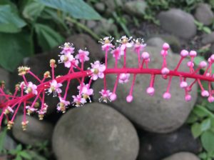
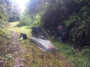
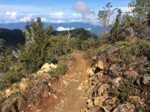
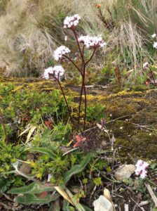
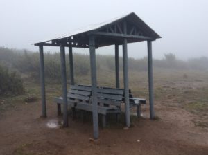
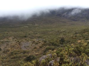
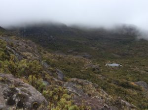
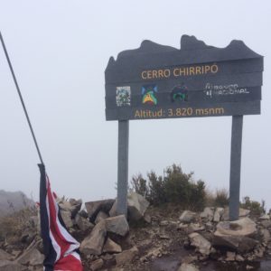
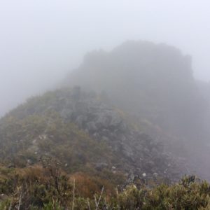
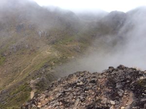
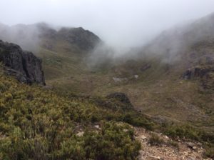
After a descent of almost 9000 feet to the town of San Isidro (and the total wearing out of a set of brakes), I checked into a hotel (and casino!) and investigated logistics for climbing Chirripó. The 12,522 foot Chirripó requires a 25 mile round trip and nearly 9000′ of elevation gain. There is a hotel of sorts at about 11,000 feet that people usually stay at for about $16 a night. I did it as a “one-dayer” but really should have stayed a couple of days at the hut exploring an incredible place. The Central American version of “alpine” is a unique habitat called the páramo which on Chirripó has become a world destination for botanists. I saved no time in doing the long day as I needed two extra days languishing at the hotel in San Isidro till I could walk normally again after running much of the downhill trail. Two days at the hut would have been far preferable. I must say though that my knees held up well- they were a worry not only in doing the long hike but for the bike journey in general. All my problems however seem to have been a function not of worn meniscuses but rather of disuse- the biking has been a cure for that.
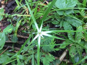
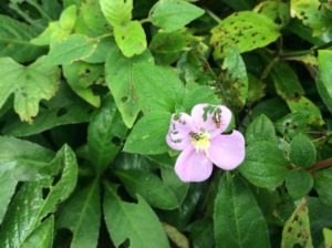
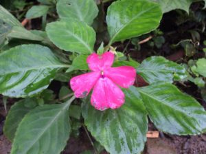
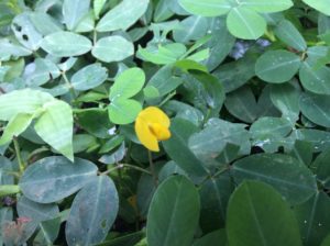
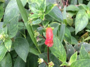
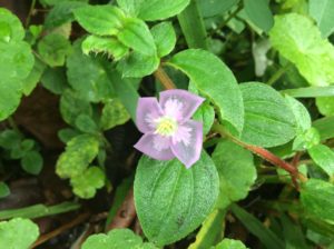
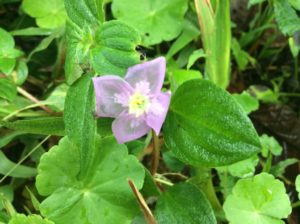
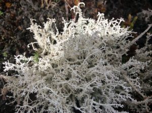
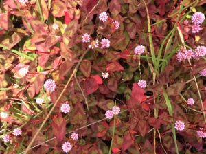
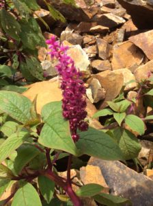
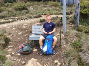
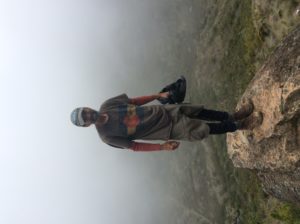
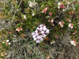
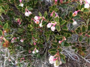
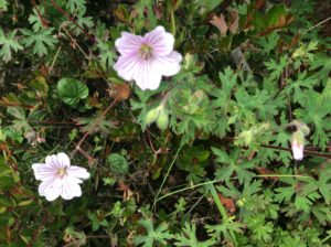
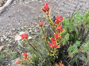
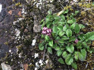
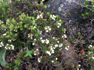
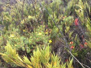
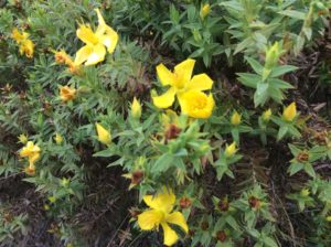
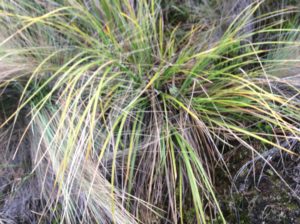
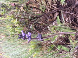
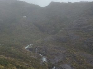
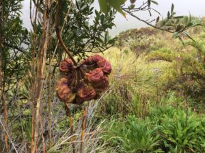
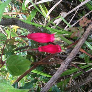
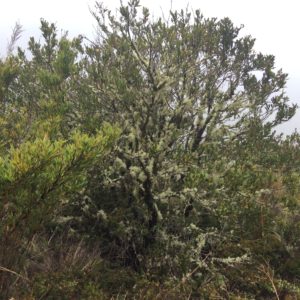
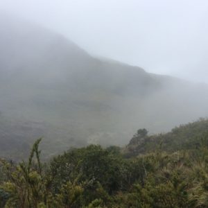
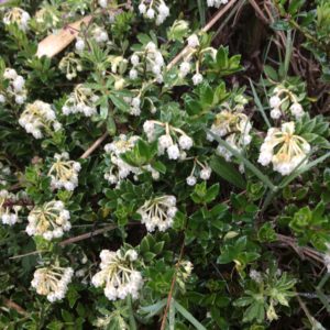
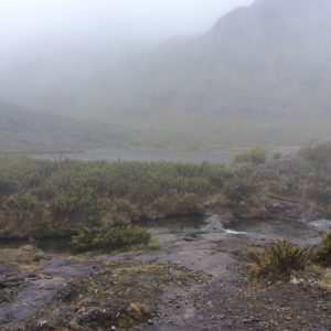
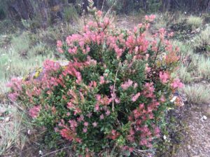
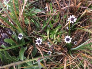
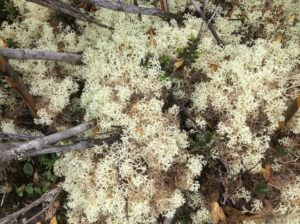
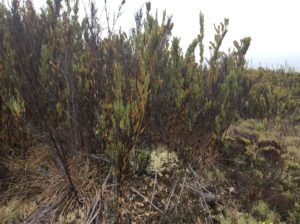
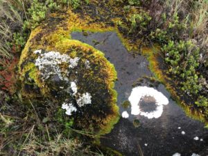
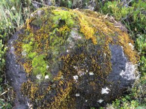
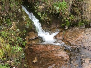
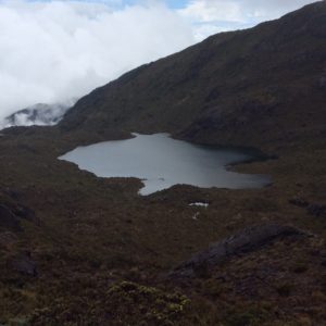
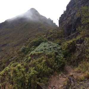
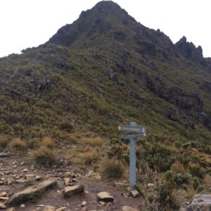
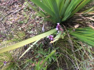
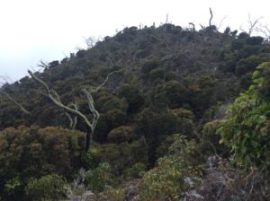
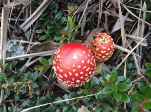
After trying to figure out the busses, I ended up taking a 4:00 am taxi 15 miles to the trailhead town of San Gerrardo for about $30. The bike was left at the hotel. I was hiking by 5:00 am while it was still dark. I kept at a steady pace and did the round trip in about 12 hours. The weather overall treated me pretty well with mist and occasional clearing, but on the descent the last few kilometers were done in a downpour and a trail that was a muddy river. The photos below outline the trip- enjoy a virtual ascent. Once in the “sky island” habitat, many plants became identifiable as counterparts to those in the alpine Rockies and Arctic. Many are endemic and I wish I knew more which was which.
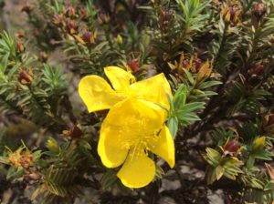
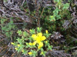
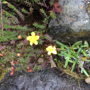
Above: Hypericum sp., or St. John’s wort.
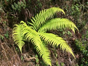
Below: Dryopteris wallichiana
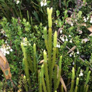
Above: Lycophytes. Posssibly Lycopodium clavatum or Phlegmariurus sp.
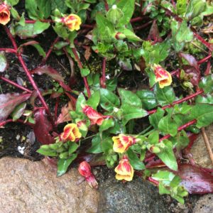
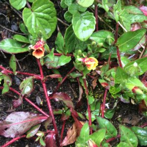
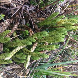
Above: Lycophytes
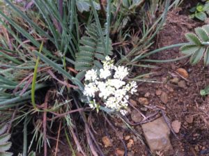
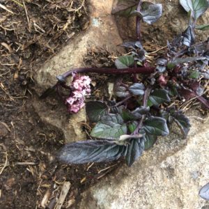
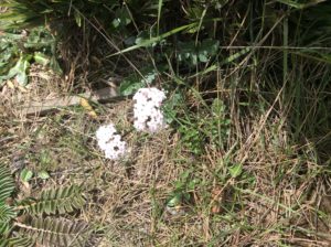
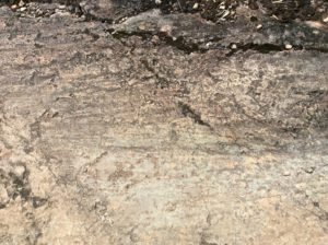
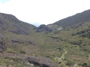
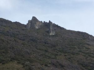
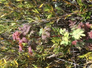
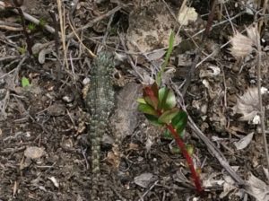
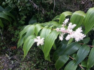
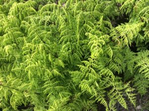
Above: Macrothelypteris torresiana
Tomorrow if my legs are under me again I’ll start for Panama. Never saw a Quetzal!
WONDERFUL Post.thanks for share..extra wait .. …
Hi Steve I’ll look forward to reading your posts and maybe it will inspire me to get back on the bike at some point soon!!! It has been almost a year!
Hi steve, very interesting pictures and clear information and am able to read your next destination.
keep going and be safe .
A 12 hour hike? You never cease to amaze me, for this, and all your travels! Love seeing all the pictures. Be safe and continue to WOW us.
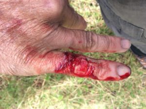
This is ALL so interesting and wonderful, Steve. So humorous, too. Can’t imagine how you managed to get that great shot of your bloodied finger! Your descriptions are just terrific, well told as well as spelled. Must give more time to getting into your new stuff. Still getting the same “no entry” response, but will try again. Hard to believe you’ve gotten so far. Stay safe and rested. Am able to read John’s latest e-mail to you. Should I be able to do that? Love you. Pam
Steve:
Just unbelievable! The pictures are wonderful as is your knowledge of the wildlife and rich descriptions. Also, bumping into the person biking to Alaska–really interesting the people you are meeting. Glad your body is holding up–that also amazes me. Hope there are not too many more hills as you head to Panama. As always press on and be safe!